
Rehain topographic map
Interactive map
Click on the map to display elevation.
About this map
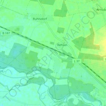
Name: Rehain topographic map, elevation, terrain.
Average elevation: 76 m
Minimum elevation: 69 m
Maximum elevation: 85 m
Other topographic maps
Click on a map to view its topography, its elevation and its terrain.
Gorsdorf
Deutschland > Sachsen-Anhalt > Jessen (Elster)
Gorsdorf, Jessen (Elster), Wittenberg, Sachsen-Anhalt, Deutschland
Average elevation: 72 m
Hemsendorf
Deutschland > Sachsen-Anhalt > Jessen (Elster)
Hemsendorf, Jessen (Elster), Wittenberg, Sachsen-Anhalt, Deutschland
Average elevation: 73 m