
Thank you for supporting this site ❤️
Make a donation
Make a donation
Ella topographic map
Click on the map to display elevation.
Thank you for supporting this site ❤️
Make a donation
Make a donation
About this map
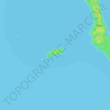
Name: Ella topographic map, elevation, terrain.
Location: Ella, Ifalik, Yap, Federated States of Micronesia (7.24104 144.44139 7.24408 144.44800)
Average elevation: 1 m
Minimum elevation: 0 m
Maximum elevation: 20 m
Thank you for supporting this site ❤️
Make a donation
Make a donation