
Muttangi topographic map
Interactive map
Click on the map to display elevation.
About this map
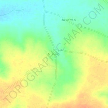
Name: Muttangi topographic map, elevation, terrain.
Location: Muttangi, Humanabad taluku, Bidar district, Karnataka, India (17.63820 77.30190 17.67820 77.34190)
Average elevation: 635 m
Minimum elevation: 616 m
Maximum elevation: 654 m