
Kenda topographic map
Interactive map
Click on the map to display elevation.
About this map
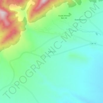
Name: Kenda topographic map, elevation, terrain.
Location: Kenda, Ras El Aïoun district, Batna, Algeria (35.64417 5.55025 35.68417 5.59025)
Average elevation: 1,055 m
Minimum elevation: 900 m
Maximum elevation: 1,475 m