
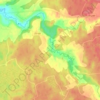
Hurda küla topographic map
Interactive map
Click on the map to display elevation.
About this map
Name: Hurda küla topographic map, elevation, terrain.
Location: Hurda küla, Hurda, Rõuge vald, Võru maakond, Estonia (57.69449 26.81797 57.73449 26.85797)
Average elevation: 119 m
Minimum elevation: 77 m
Maximum elevation: 146 m