
Local topographic map
Interactive map
Click on the map to display elevation.
About this map
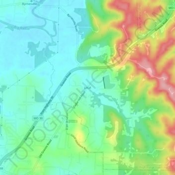
Name: Local topographic map, elevation, terrain.
Location: Local, Jefferson County, Missouri, 63016, United States (38.35367 -90.64290 38.39367 -90.60290)
Average elevation: 176 m
Minimum elevation: 133 m
Maximum elevation: 264 m