
Градска општина Сурчин topographic map
Interactive map
Click on the map to display elevation.
About this map
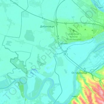
Name: Градска општина Сурчин topographic map, elevation, terrain.
Location: Градска општина Сурчин, Belgrado, Serbia Central, Serbia (44.66150 20.08787 44.88266 20.35099)
Average elevation: 84 m
Minimum elevation: 67 m
Maximum elevation: 243 m