
Zaragoza topographic map
Interactive map
Click on the map to display elevation.
About this map
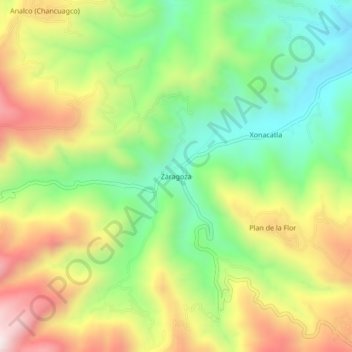
Name: Zaragoza topographic map, elevation, terrain.
Location: Zaragoza, Ixtacamaxtitlán, Puebla, México (19.54611 -97.82694 19.58611 -97.78694)
Average elevation: 2,537 m
Minimum elevation: 2,207 m
Maximum elevation: 2,971 m