
Clarendon topographic map
Interactive map
Click on the map to display elevation.
About this map
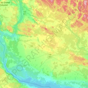
Name: Clarendon topographic map, elevation, terrain.
Location: Clarendon, Pontiac (MRC), Outaouais, Québec, Canada (45.51357 -76.66755 45.74936 -76.36126)
Average elevation: 152 m
Minimum elevation: 72 m
Maximum elevation: 321 m
Other topographic maps
Click on a map to view its topography, its elevation and its terrain.