
Alva topographic map
Interactive map
Click on the map to display elevation.
About this map
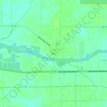
Name: Alva topographic map, elevation, terrain.
Location: Alva, Lee County, Florida, 33920, USA (26.69562 -81.63008 26.73562 -81.59008)
Average elevation: 6 m
Minimum elevation: -1 m
Maximum elevation: 11 m