
Den Hout topographic map
Interactive map
Click on the map to display elevation.
About this map
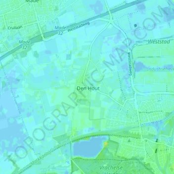
Name: Den Hout topographic map, elevation, terrain.
Location: Den Hout, Noord-Brabant, Nederland, 4911, Nederland (51.63726 4.79362 51.67726 4.83362)
Average elevation: 3 m
Minimum elevation: -3 m
Maximum elevation: 13 m
Other topographic maps
Click on a map to view its topography, its elevation and its terrain.
Den Hout
Nederland > Noord-Brabant > Den Hout
Den Hout, Oosterhout, Noord-Brabant, Nederland
Average elevation: 3 m