
La Yunga topographic map
Interactive map
Click on the map to display elevation.
About this map
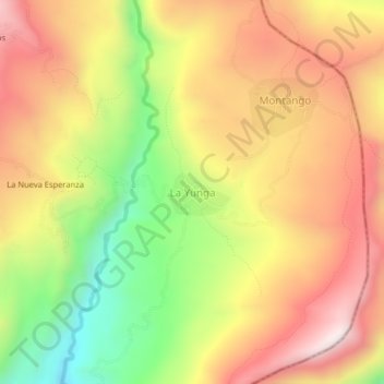
Name: La Yunga topographic map, elevation, terrain.
Location: La Yunga, Santa Rosa, Provincia de Jaén, Cajamarca, Perú (-5.45810 -78.54967 -5.41810 -78.50967)
Average elevation: 1,091 m
Minimum elevation: 666 m
Maximum elevation: 1,447 m