
Thank you for supporting this site ❤️
Make a donation
Make a donation
Ravura topographic map
Click on the map to display elevation.
Thank you for supporting this site ❤️
Make a donation
Make a donation
About this map
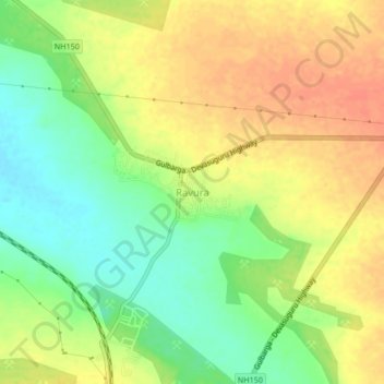
Name: Ravura topographic map, elevation, terrain.
Location: Ravura, Chitapura taluku, Kalaburagi, Karnataka, 585225, India (17.06840 76.98304 17.10840 77.02304)
Average elevation: 413 m
Minimum elevation: 389 m
Maximum elevation: 433 m
Thank you for supporting this site ❤️
Make a donation
Make a donation