
Achgabat topographic map
Interactive map
Click on the map to display elevation.
About this map
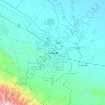
Name: Achgabat topographic map, elevation, terrain.
Location: Achgabat, 74400, Turkménistan (37.78046 58.22235 38.10046 58.54235)
Average elevation: 381 m
Minimum elevation: 133 m
Maximum elevation: 2,645 m