
Ollomont topographic map
Interactive map
Click on the map to display elevation.
About this map
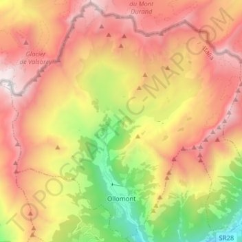
Name: Ollomont topographic map, elevation, terrain.
Location: Ollomont, Valle d'Aosta, Italië (45.83461 7.24576 45.92181 7.37408)
Average elevation: 2,458 m
Minimum elevation: 1,060 m
Maximum elevation: 3,722 m