
Rushmore topographic map
Interactive map
Click on the map to display elevation.
About this map
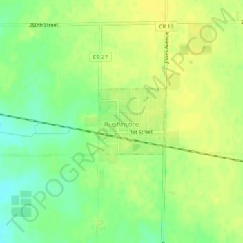
Name: Rushmore topographic map, elevation, terrain.
Location: Rushmore, Nobles County, Minnesota, États-Unis d'Amérique (43.61602 -95.80408 43.62337 -95.79384)
Average elevation: 508 m
Minimum elevation: 495 m
Maximum elevation: 516 m
Other topographic maps
Click on a map to view its topography, its elevation and its terrain.
Lismore
États-Unis d'Amérique > Minnesota > Nobles County > Lismore
Lismore, Nobles County, Minnesota, États-Unis d'Amérique
Average elevation: 510 m