
Kotapola topographic map
Interactive map
Click on the map to display elevation.
About this map
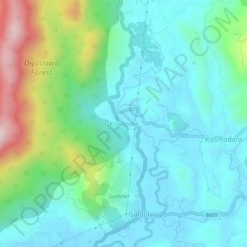
Name: Kotapola topographic map, elevation, terrain.
Location: Kotapola, Matara District, Southern Province, 81500, Sri Lanka (6.27381 80.52418 6.31381 80.56418)
Average elevation: 238 m
Minimum elevation: 106 m
Maximum elevation: 664 m