
Garut topographic map
Interactive map
Click on the map to display elevation.
About this map
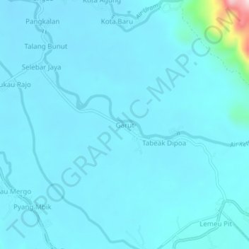
Name: Garut topographic map, elevation, terrain.
Location: Garut, Lebong, Bengkulu, Sumatra, 39267, Indonésie (-3.14023 102.21021 -3.10023 102.25021)
Average elevation: 352 m
Minimum elevation: 325 m
Maximum elevation: 697 m