
Arde topographic map
Interactive map
Click on the map to display elevation.
About this map
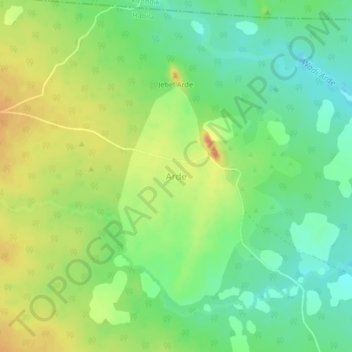
Name: Arde topographic map, elevation, terrain.
Location: Arde, Habila, West Sudan State, Sudan (13.01770 22.70194 13.05770 22.74194)
Average elevation: 788 m
Minimum elevation: 766 m
Maximum elevation: 814 m