
Hobbs topographic map
Interactive map
Click on the map to display elevation.
About this map
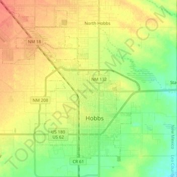
Name: Hobbs topographic map, elevation, terrain.
Location: Hobbs, Lea County, New Mexico, United States of America (32.66756 -103.23092 32.78735 -103.09479)
Average elevation: 1,108 m
Minimum elevation: 1,086 m
Maximum elevation: 1,128 m