
Sullurpeta topographic map
Interactive map
Click on the map to display elevation.
About this map
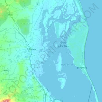
Name: Sullurpeta topographic map, elevation, terrain.
Location: Sullurpeta, Tirupati, Andhra Pradesh, India (13.56196 79.85917 13.82512 80.26853)
Average elevation: 8 m
Minimum elevation: -7 m
Maximum elevation: 159 m
Other topographic maps
Click on a map to view its topography, its elevation and its terrain.