
Thank you for supporting this site ❤️
Make a donation
Make a donation
Napoleon topographic map
Click on the map to display elevation.
Thank you for supporting this site ❤️
Make a donation
Make a donation
About this map
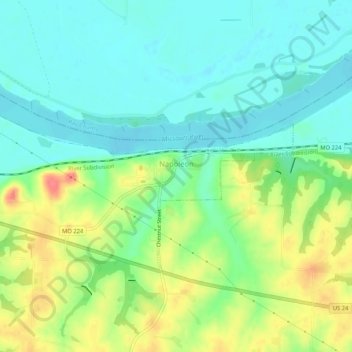
Name: Napoleon topographic map, elevation, terrain.
Location: Napoleon, Lafayette County, Missouri, United States (39.11900 -94.10561 39.14090 -94.05342)
Average elevation: 230 m
Minimum elevation: 208 m
Maximum elevation: 272 m
Thank you for supporting this site ❤️
Make a donation
Make a donation