
Thank you for supporting this site ❤️
Make a donation
Make a donation
Mansar topographic map
Click on the map to display elevation.
Thank you for supporting this site ❤️
Make a donation
Make a donation
About this map
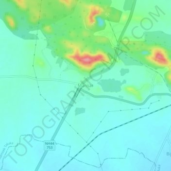
Name: Mansar topographic map, elevation, terrain.
Location: Mansar, Ramtek Taluka, Nagpur, Maharashtra, 441406, India (21.37671 79.24271 21.41671 79.28271)
Average elevation: 331 m
Minimum elevation: 307 m
Maximum elevation: 419 m
Thank you for supporting this site ❤️
Make a donation
Make a donation