
Lebusa topographic map
Interactive map
Click on the map to display elevation.
About this map
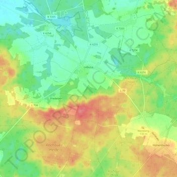
Name: Lebusa topographic map, elevation, terrain.
Location: Lebusa, Schlieben, Elbe-Elster, Brandenburg, Deutschland (51.75493 13.34512 51.81988 13.46344)
Average elevation: 115 m
Minimum elevation: 85 m
Maximum elevation: 155 m