
Farrukhabad topographic map
Interactive map
Click on the map to display elevation.
About this map
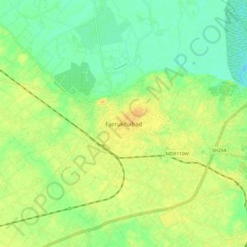
Name: Farrukhabad topographic map, elevation, terrain.
Average elevation: 146 m
Minimum elevation: 132 m
Maximum elevation: 159 m
Other topographic maps
Click on a map to view its topography, its elevation and its terrain.
Kamalganj
India > Uttar Pradesh > Farrukhabad
Kamalganj, Farrukhabad, Uttar Pradesh, 209724, India
Average elevation: 144 m