
Eastborough topographic map
Interactive map
Click on the map to display elevation.
About this map
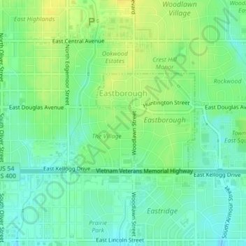
Name: Eastborough topographic map, elevation, terrain.
Location: Eastborough, Sedgwick County, Kansas, USA (37.67928 -97.26739 37.69022 -97.25372)
Average elevation: 416 m
Minimum elevation: 406 m
Maximum elevation: 428 m