
Thank you for supporting this site ❤️
Make a donation
Make a donation
Koliyadi topographic map
Click on the map to display elevation.
Thank you for supporting this site ❤️
Make a donation
Make a donation
About this map
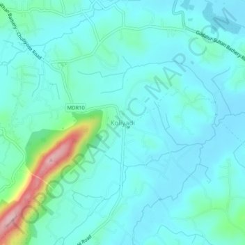
Name: Koliyadi topographic map, elevation, terrain.
Location: Koliyadi, Sulthanbathery, Wayanad, Kerala, 673595, India (11.61464 76.25732 11.65464 76.29732)
Average elevation: 886 m
Minimum elevation: 852 m
Maximum elevation: 1,057 m
Thank you for supporting this site ❤️
Make a donation
Make a donation
Other topographic maps
Click on a map to view its topography, its elevation and its terrain.
Thank you for supporting this site ❤️
Make a donation
Make a donation
Thank you for supporting this site ❤️
Make a donation
Make a donation