
Schieferberg topographic map
Interactive map
Click on the map to display elevation.
About this map
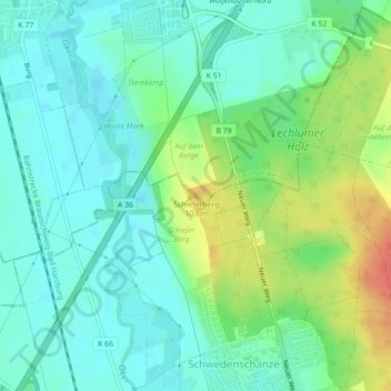
Name: Schieferberg topographic map, elevation, terrain.
Location: Schieferberg, Braunschweig, Niedersachsen, 38124, Deutschland (52.19137 10.52703 52.19147 10.52713)
Average elevation: 86 m
Minimum elevation: 71 m
Maximum elevation: 119 m