
Orchid Island topographic map
Interactive map
Click on the map to display elevation.
About this map
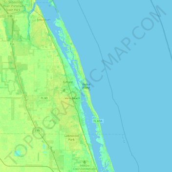
Name: Orchid Island topographic map, elevation, terrain.
Average elevation: 4 m
Minimum elevation: -3 m
Maximum elevation: 17 m
Other topographic maps
Click on a map to view its topography, its elevation and its terrain.
Riomar
United States > Florida > Indian River County > Vero Beach
Riomar, Vero Beach, Indian River County, Florida, 32963, United States
Average elevation: 2 m