
PANIQUITA topographic map
Interactive map
Click on the map to display elevation.
About this map
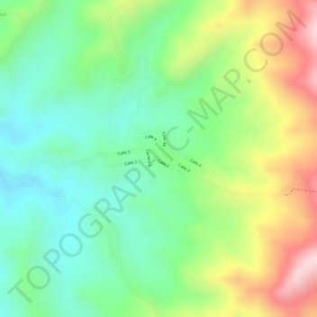
Name: PANIQUITA topographic map, elevation, terrain.
Location: PANIQUITA, Totoró, Oriente, Cauca, Colombia (2.51869 -76.47934 2.53869 -76.45934)
Average elevation: 2,200 m
Minimum elevation: 2,075 m
Maximum elevation: 2,391 m
Other topographic maps
Click on a map to view its topography, its elevation and its terrain.