
Cârța topographic map
Interactive map
Click on the map to display elevation.
About this map
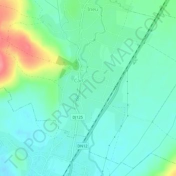
Name: Cârța topographic map, elevation, terrain.
Location: Cârța, Harghita, 537035, Rumanía (46.52458 25.75351 46.53911 25.76931)
Average elevation: 723 m
Minimum elevation: 701 m
Maximum elevation: 787 m