
Desa Toto Selatan topographic map
Interactive map
Click on the map to display elevation.
About this map
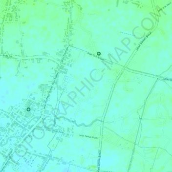
Name: Desa Toto Selatan topographic map, elevation, terrain.
Location: Desa Toto Selatan, Kecamatan Kabila, Gorontalo, Indonesia (0.55319 123.08782 0.56590 123.09901)
Average elevation: 14 m
Minimum elevation: 9 m
Maximum elevation: 19 m
Other topographic maps
Click on a map to view its topography, its elevation and its terrain.