
Longres topographic map
Interactive map
Click on the map to display elevation.
About this map
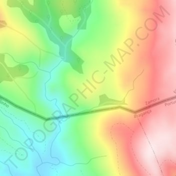
Name: Longres topographic map, elevation, terrain.
Location: Longres, Hermisende, Zamora, Castille-et-León, Espagne (41.93720 -6.85020 41.95720 -6.83020)
Average elevation: 1,062 m
Minimum elevation: 845 m
Maximum elevation: 1,304 m