
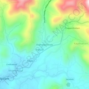
Chathangottunada topographic map
Interactive map
Click on the map to display elevation.
About this map
Name: Chathangottunada topographic map, elevation, terrain.
Average elevation: 189 m
Minimum elevation: 15 m
Maximum elevation: 656 m
Other topographic maps
Click on a map to view its topography, its elevation and its terrain.
Koodal
India > Kerala > Vadakara > Thottilpalam
Koodal, Thottilpalam, Vadakara, Kozhikode District, Kerala, 673513, India
Average elevation: 120 m