
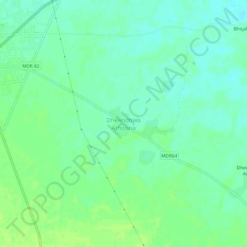
Dheendhwa Athoona topographic map
Interactive map
Click on the map to display elevation.
About this map
Name: Dheendhwa Athoona topographic map, elevation, terrain.
Average elevation: 294 m
Minimum elevation: 288 m
Maximum elevation: 300 m
Other topographic maps
Click on a map to view its topography, its elevation and its terrain.
Deorod
India > Rajasthan > Surajgarh Tehsil
Deorod, Surajgarh Tehsil, Jhunjhunu District, Rajasthan, 333035, India
Average elevation: 303 m
Pilani
India > Rajasthan > Surajgarh Tehsil
Pilani, Surajgarh Tehsil, Jhunjhunu District, Rajasthan, 333031, India
Average elevation: 294 m