
Tinian Municipality topographic map
Interactive map
Click on the map to display elevation.
About this map
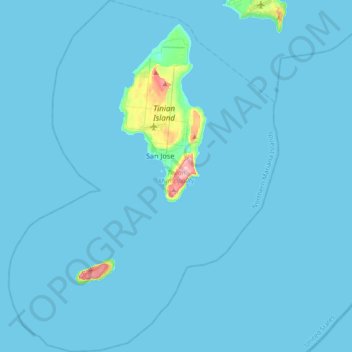
Name: Tinian Municipality topographic map, elevation, terrain.
Average elevation: 5 m
Minimum elevation: 0 m
Maximum elevation: 186 m
Other topographic maps
Click on a map to view its topography, its elevation and its terrain.
Saipan Municipality
United States > Northern Mariana Islands
Saipan Municipality, Northern Mariana Islands, 96950, United States
Average elevation: 9 m