
Kumarhatti topographic map
Click on the map to display elevation.
About this map
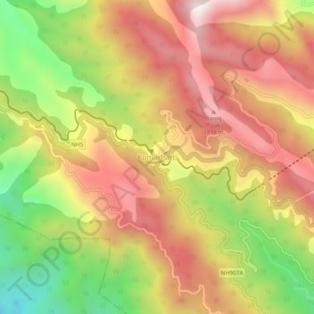
Name: Kumarhatti topographic map, elevation, terrain.
Location: Kumarhatti, Solan, Himachal Pradesh, 173229, India (30.86835 77.03701 30.90835 77.07701)
Average elevation: 1,581 m
Minimum elevation: 1,089 m
Maximum elevation: 1,977 m