
Thank you for supporting this site ❤️
Make a donation
Make a donation
Khurda topographic map
Click on the map to display elevation.
Thank you for supporting this site ❤️
Make a donation
Make a donation
About this map
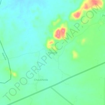
Name: Khurda topographic map, elevation, terrain.
Location: Khurda, Nowgong Tahsil, Chhatarpur, Madhya Pradesh, India (25.08866 79.52343 25.12866 79.56343)
Average elevation: 256 m
Minimum elevation: 233 m
Maximum elevation: 323 m
Thank you for supporting this site ❤️
Make a donation
Make a donation