
Sulerjavalge topographic map
Click on the map to display elevation.
About this map
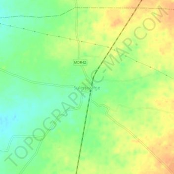
Name: Sulerjavalge topographic map, elevation, terrain.
Location: Sulerjavalge, Akkalkot, Solapur District, Maharashtra, India (17.44009 75.95401 17.48009 75.99401)
Average elevation: 457 m
Minimum elevation: 437 m
Maximum elevation: 475 m