
Thank you for supporting this site ❤️
Make a donation
Make a donation
Bordoli topographic map
Click on the map to display elevation.
Thank you for supporting this site ❤️
Make a donation
Make a donation
About this map
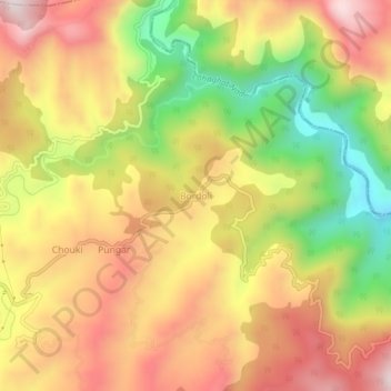
Name: Bordoli topographic map, elevation, terrain.
Location: Bordoli, Champawat, Uttarakhand, 262524, India (29.32586 80.10741 29.36586 80.14741)
Average elevation: 1,579 m
Minimum elevation: 1,248 m
Maximum elevation: 1,849 m
Thank you for supporting this site ❤️
Make a donation
Make a donation