
Tempexquititla topographic map
Interactive map
Click on the map to display elevation.
About this map
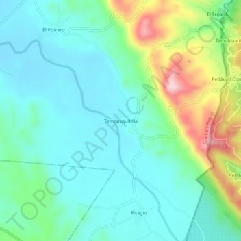
Name: Tempexquititla topographic map, elevation, terrain.
Average elevation: 186 m
Minimum elevation: 118 m
Maximum elevation: 378 m
Other topographic maps
Click on a map to view its topography, its elevation and its terrain.
Cuaguayote
México > San Luis Potosí > San Martín Chalchicuautla
Cuaguayote, San Martín Chalchicuautla, San Luis Potosí, México
Average elevation: 161 m