
Radès topographic map
Interactive map
Click on the map to display elevation.
About this map
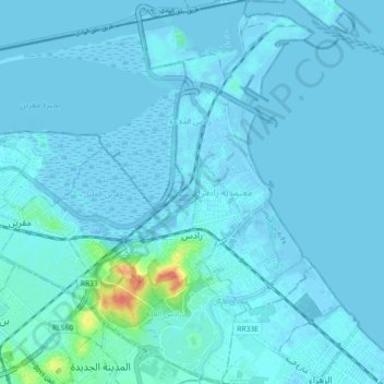
Name: Radès topographic map, elevation, terrain.
Location: Radès, معتمدية رادس, Ben Arous, Tunisia (36.73958 10.24681 36.81255 10.30713)
Average elevation: 4 m
Minimum elevation: -7 m
Maximum elevation: 51 m
Other topographic maps
Click on a map to view its topography, its elevation and its terrain.
حمام الأنف
Tunisia > Ben Arous > حي محمد علي
حمام الأنف, حي محمد علي, معتمدية حمام الأنف, Ben Arous, Tunisia
Average elevation: 106 m
Mégrine
Tunisia > Ben Arous > مقرين العليا
Mégrine, مقرين العليا, معتمدية مقرين, Ben Arous, 2033, Tunisia
Average elevation: 11 m