
Forest City topographic map
Interactive map
Click on the map to display elevation.
About this map
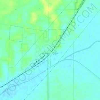
Name: Forest City topographic map, elevation, terrain.
Location: Forest City, Mason County, Illinois, United States (40.36418 -89.84197 40.37756 -89.82163)
Average elevation: 153 m
Minimum elevation: 147 m
Maximum elevation: 166 m
Other topographic maps
Click on a map to view its topography, its elevation and its terrain.
Goofy Ridge
United States > Illinois > Mason County
Goofy Ridge, Mason County, Illinois, 61567, United States
Average elevation: 147 m
Manito
United States > Illinois > Mason County
Manito, Mason County, Illinois, United States
Average elevation: 153 m
Wolf Lake
United States > Illinois > Mason County
Wolf Lake, Mason County, Illinois, 62627, United States
Average elevation: 141 m