
Kakkadampoyil topographic map
Interactive map
Click on the map to display elevation.
About this map
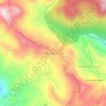
Name: Kakkadampoyil topographic map, elevation, terrain.
Location: Kakkadampoyil, Thamarassery, Kozhikode, Kerala, 673604, India (11.31731 76.09051 11.35731 76.13051)
Average elevation: 616 m
Minimum elevation: 231 m
Maximum elevation: 924 m
Other topographic maps
Click on a map to view its topography, its elevation and its terrain.