
Rossau topographic map
Interactive map
Click on the map to display elevation.
About this map
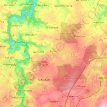
Name: Rossau topographic map, elevation, terrain.
Location: Rossau, Mittelsachsen, Sachsen, Deutschland (50.94507 12.98627 51.04665 13.13714)
Average elevation: 302 m
Minimum elevation: 196 m
Maximum elevation: 383 m