
Thank you for supporting this site ❤️
Make a donation
Make a donation
Dahmot Kalan topographic map
Click on the map to display elevation.
Thank you for supporting this site ❤️
Make a donation
Make a donation
About this map
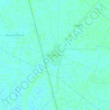
Name: Dahmot Kalan topographic map, elevation, terrain.
Location: Dahmot Kalan, Payal Tahsil, Ludhiana, Punjab, 141413, India (30.66821 76.00897 30.70821 76.04897)
Average elevation: 258 m
Minimum elevation: 255 m
Maximum elevation: 260 m
Thank you for supporting this site ❤️
Make a donation
Make a donation