
Asseiceira topographic map
Interactive map
Click on the map to display elevation.
About this map
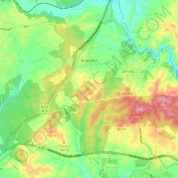
Name: Asseiceira topographic map, elevation, terrain.
Location: Asseiceira, Tomar, Santarém, 2305-123, Portugal (39.47661 -8.42346 39.54968 -8.35614)
Average elevation: 96 m
Minimum elevation: 21 m
Maximum elevation: 206 m