
Thank you for supporting this site ❤️
Make a donation
Make a donation
Barrel Lake topographic map
Click on the map to display elevation.
Thank you for supporting this site ❤️
Make a donation
Make a donation
About this map
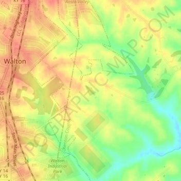
Name: Barrel Lake topographic map, elevation, terrain.
Location: Barrel Lake, Kenton County, Kentucky, United States (38.87049 -84.59667 38.87196 -84.59475)
Average elevation: 266 m
Minimum elevation: 231 m
Maximum elevation: 290 m
Thank you for supporting this site ❤️
Make a donation
Make a donation