
Thank you for supporting this site ❤️
Make a donation
Make a donation
De Bult topographic map
Click on the map to display elevation.
Thank you for supporting this site ❤️
Make a donation
Make a donation
About this map
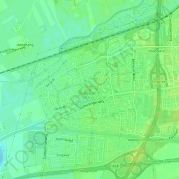
Name: De Bult topographic map, elevation, terrain.
Location: De Bult, Hoogeveen, Drenthe, Nederland, 7908 MC, Nederland (52.71910 6.44749 52.71920 6.44759)
Average elevation: 10 m
Minimum elevation: 2 m
Maximum elevation: 17 m
Thank you for supporting this site ❤️
Make a donation
Make a donation