
Promontoire topographic map
Interactive map
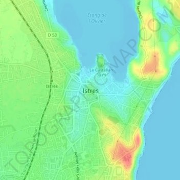
Click on the map to display elevation.
About this map
Name: Promontoire topographic map, elevation, terrain.
Average elevation: 17 m
Minimum elevation: -3 m
Maximum elevation: 56 m
Other topographic maps
Click on a map to view its topography, its elevation and its terrain.
Vigie d'Istres
France > Provence-Alpes-Côte d'Azur > Bouches-du-Rhône > Istres
Vigie d'Istres, Chemin du Vieux Sulauze, Istres, Bouches-du-Rhône, Provence-Alpes-Côte d'Azur, France métropolitaine, 13800, France
Average elevation: 34 m